Repki (gmina)
Repki est une gmina rurale du powiat de Sokołów, Mazovie, dans le centre-est de la Pologne.
| Gmina Repki | ||||
| Administration | ||||
|---|---|---|---|---|
| Pays | ||||
| Voïvodie (Région) |
Mazovie | |||
| Powiat (District) |
Sokołów | |||
| Siège | Repki | |||
| Démographie | ||||
| Population | 5 809 hab. (2006) | |||
| Densité | 34 hab./km2 | |||
| Géographie | ||||
| Coordonnées | 52° 23′ 00″ nord, 22° 23′ 00″ est | |||
| Superficie | 16 879 ha = 168,79 km2 | |||
| Localisation | ||||
| Géolocalisation sur la carte : Voïvodie de Mazovie
Géolocalisation sur la carte : Voïvodie de Mazovie
Géolocalisation sur la carte : Pologne
| ||||
| Liens | ||||
| Site web | www.repki.cba.pl | |||
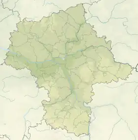
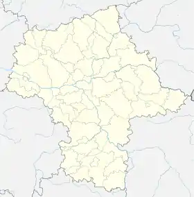
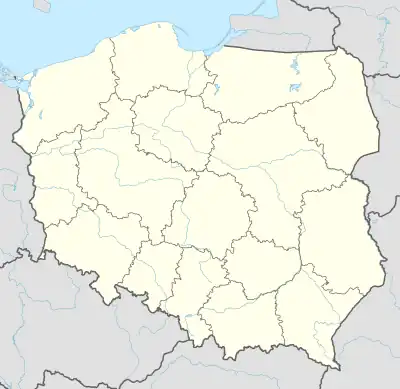
Son siège administratif(chef-lieu) est le village de Repki, qui se situe environ 10 km au sud-est de Sokołów Podlaski (siège de la powiat) et 95 km au nord-est de Varsovie (capitale de la Pologne).
La gmina couvre une superficie de 168,79 km2 pour une population de 5 809 habitants[1] en 2006.
Géographie
La gmina inclut les villages et localités de :
_location_map.png.webp)
Plan de la gmina
- Baczki
- Bałki
- Bohy
- Borychów
- Czaple-Andrelewicze
- Czaple-Kolonia
- Gałki
- Jasień
- Józin
- Kamianka
- Kanabród
- Karskie
- Kobylany Górne
- Kobylany-Skorupki
- Liszki
- Mołomotki
- Mołomotki-Dwór
- Ostrówek
- Ostrowiec
- Remiszew Duży
- Remiszew Mały
- Repki
- Rogów
- Rudniki
- Sawice-Bronisze
- Sawice-Dwór
- Sawice-Wieś
- Skorupki
- Skrzeszew
- Skrzeszew E
- Skwierczyn-Dwór
- Skwierczyn-Wieś
- Smuniew
- Szkopy
- Wasilew Skrzeszewski
- Wasilew Szlachecki
- Wierzbice Górne
- Włodki
- Wyrozęby-Konaty
- Wyrozęby-Podawce
- Zawady
- Żółkwy
Gminy voisines
La gmina de Repki est voisine des gminy suivantes :
Structure du terrain
D'après les données de 2002, la superficie de la commune de Repki est de 168,79 km2, répartis comme telle :
- terres agricoles : 82 %
- forêts : 15 %
La commune représente 14,92 % de la superficie du powiat.
Démographie
Données du :
| Description | Total | Femmes | Hommes | |||
|---|---|---|---|---|---|---|
| Unité | Nombre | % | Nombre | % | Nombre | % |
| Population | 5 881 | 100 | 2 931 | 49,8 | 2 950 | 50,2 |
| Densité (hab./km²) | 34,8 | 17,4 | 17,5 | |||
Notes et références
- (en) « Area and Population in the Territorial Profile in 2012 » [archive du ], Głowny Urząd Statystyczny
Cet article est issu de wikipedia. Text licence: CC BY-SA 4.0, Des conditions supplémentaires peuvent s’appliquer aux fichiers multimédias.