Kaštijelj (Kladanj)
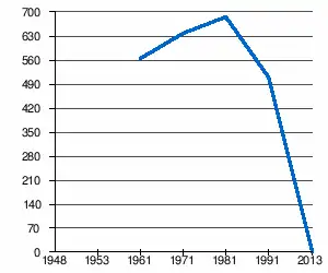
Kaštijelj (en serbe cyrillique : Каштијељ) est un village de Bosnie-Herzégovine. Il est situé dans la municipalité de Kladanj, dans le canton de Tuzla et dans la Fédération de Bosnie-et-Herzégovine. Selon les premiers résultats du recensement bosnien de 2013, il ne compte aucun habitant[1].
| Kaštijelj Каштијељ | ||||
| Administration | ||||
|---|---|---|---|---|
| Pays | ||||
| Entité | ||||
| Canton | Tuzla | |||
| Municipalité | Kladanj | |||
| Démographie | ||||
| Population | 0 hab. (2013) | |||
| Géographie | ||||
| Coordonnées | 44° 20′ 15″ nord, 18° 46′ 30″ est | |||
| Altitude | 801 m |
|||
| Localisation | ||||
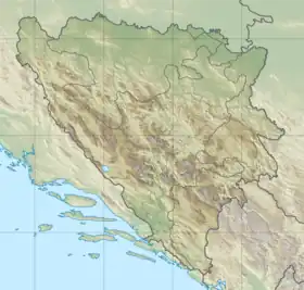
| Géolocalisation sur la carte : Bosnie-Herzégovine
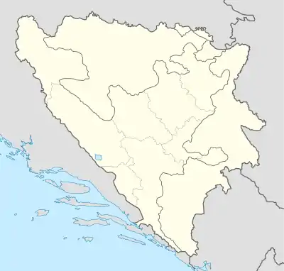
Géolocalisation sur la carte : Bosnie-Herzégovine
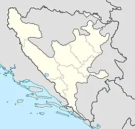
Géolocalisation sur la carte : fédération de Bosnie-et-Herzégovine
| ||||
Avant la guerre de Bosnie-Herzégovine, le village faisait entièrement partie de la municipalité de Šekovići ; après la guerre, son territoire a été partiellement rattaché à la municipalité de Kladanj, intégrée à la Fédération de Bosnie-et-Herzégovine.
Démographie
Évolution historique de la population
 |
Notes et références
- (sr + en) « Census of population - Preliminary results by municipalities and settlements in the Federation of Bosnia and Herzégovine » [PDF], sur http://fzs.ba, Institut de statistiques de la Fédération de Bosnie-et-Herzégovine (consulté le )
- (bs) « Population 1961-1991 », sur http://pop-stat.mashke.org (consulté le )
- (bs + hr + sr) « Composition nationale de la population - Résultats de la République par municipalités et localités », Bulletin statistique, Sarajevo, Publication de l'Institut national de statistique de Bosnie-Herzégovine, no 234, .
Cet article est issu de wikipedia. Text licence: CC BY-SA 4.0, Des conditions supplémentaires peuvent s’appliquer aux fichiers multimédias.


