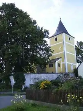
Waldthurn
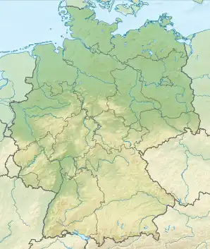
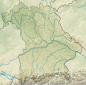
Waldthurn est une commune de Bavière (Allemagne), située dans l'arrondissement de Neustadt an der Waldnaab, dans le district du Haut-Palatinat.
| Waldthurn | |
| |
 Armoiries |
|
| Administration | |
|---|---|
| Pays | |
| Land | |
| District (Regierungsbezirk) |
Haut-Palatinat |
| Arrondissement (Landkreis) |
Neustadt an der Waldnaab |
| Nombre de quartiers (Ortsteile) |
20 |
| Code postal | 92727 |
| Indicatif téléphonique | 09657 |
| Immatriculation | NEW |
| Démographie | |
| Population | 1 881 hab. () |
| Densité | 61 hab./km2 |
| Géographie | |
| Coordonnées | 49° 40′ 17″ nord, 12° 19′ 56″ est |
| Altitude | 556 m |
| Superficie | 3 097 ha = 30,97 km2 |
| Localisation | |
| Liens | |
| Site web | www.waldthurn.de |
Villages de la commune
- Albersrieth
- Bernrieth
- Brunnhof
- Frankenrieth
- Goldbrunn
- Irlhof
- Kühbachhof
- Lennesrieth
- Oberbernrieth
- Oberfahrenberg
- Ottenrieth
- Sandbachhöf
- Spielberg
- Unterfahrenberg
- Wampenhof
- Woppenrieth
- Mangelsdorf
- Buch
- Lindnermühle
- Maienfeld
Cet article est issu de wikipedia. Text licence: CC BY-SA 4.0, Des conditions supplémentaires peuvent s’appliquer aux fichiers multimédias.