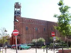
Grezzago
Grezzago est une commune italienne d'environ 2 800 habitants située dans la ville métropolitaine de Milan dans la région de la Lombardie dans le nord de l'Italie.
| Grezzago | |
| |
| Administration | |
|---|---|
| Pays | |
| Région | |
| Ville métropolitaine | Milan |
| Code postal | 20056 |
| Code ISTAT | 015110 |
| Code cadastral | E170 |
| Préfixe tel. | 02 |
| Démographie | |
| Gentilé | grezzaghesi |
| Population | 2 804 hab. (31-12-2010[1]) |
| Densité | 1 126 hab./km2 |
| Géographie | |
| Coordonnées | 45° 35′ 28″ nord, 9° 29′ 42″ est |
| Altitude | Min. 178 m Max. 178 m |
| Superficie | 249 ha = 2,49 km2 |
| Divers | |
| Saint patron | San Martino |
| Localisation | |
.svg.png.webp) Localisation dans la ville métropolitaine de Milan. | |
| Liens | |
| Site web | Site officiel |
Géographie
Cartographies de la commune
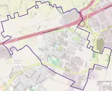
Carte OpenStreetMap 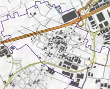
Carte topographique 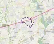
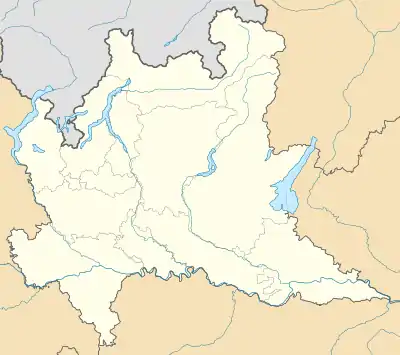
Avec les communes environnantes
- 1Carte dynamique
- 2Carte Openstreetmap
- 3Carte topographique
- 4Carte avec les communes environnantes
Administration
Notes et références
- (it) Popolazione residente e bilancio demografico sur le site de l'ISTAT.
Cet article est issu de wikipedia. Text licence: CC BY-SA 4.0, Des conditions supplémentaires peuvent s’appliquer aux fichiers multimédias.