Greenview No 16
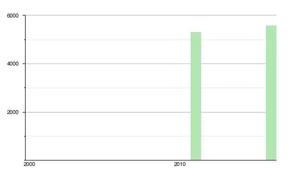
Le district municipal de Greenview No 16 (anglais : Greenview No. 16) est un district municipal de 5 299 habitants en 2011, situé dans la province d'Alberta, au Canada.
| Greenview No 16 | |
| |
| Administration | |
|---|---|
| Pays | |
| Province | |
| Région | Alberta du Nord |
| Statut municipal | district municipal |
| Maire | Dale Gervais |
| Constitution | 1994 |
| Démographie | |
| Population | 5 299 hab. (2011) |
| Densité | 0,16 hab./km2 |
| Géographie | |
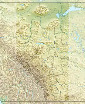
| Coordonnées | 55° 04′ 07″ nord, 117° 16′ 05″ ouest |
| Superficie | 3 298 905 ha = 32 989,05 km2 |
| Divers | |
| Fuseau horaire | UTC-7 |
| Code géographique | 4818015 |
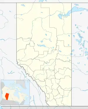
| Localisation | |
| Liens | |
| Site web | mdgreenview.ab.ca |
Communautés et localités
- Hameaux
- Localités
- Amundson
- Aspen Grove
- Botten
- Braaten
- Calais
- Clarkson Valley
- Crooked Creek
- Denard
- Dorscheid
- East Grove
- Goodwin
- Grande Cache Lake
- Grey
- Grizzly
- Hilltop
- Kaybob
- Latornell
- Little Smoky River
- Muskeg River
- New Fish Creek
- Owen
- Pass Creek
- Sturgeon Heights
- Sturgeon Lake Settlement
- Susa Creek
- Sweathouse Creek
- Thordarson
- Tolstad
- Two Creeks
- Wapiti
- Winniandy
- Autres
- Wanyandie Flats
Démographie
Références
- (en) Cet article est partiellement ou en totalité issu de l’article de Wikipédia en anglais intitulé « Greenview No. 16, Alberta » (voir la liste des auteurs).
Annexes
Articles connexes
Liens externes
Cet article est issu de wikipedia. Text licence: CC BY-SA 4.0, Des conditions supplémentaires peuvent s’appliquer aux fichiers multimédias.