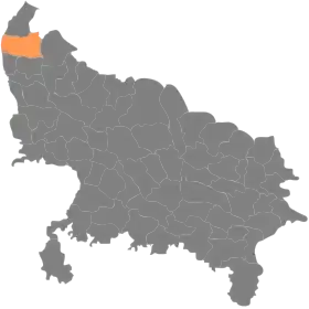
District de Muzaffarnagar
Le district de Muzaffarnagar (en hindi : मुज़फ़्फ़रनगर ज़िला, en ourdou : مُظفٌر نگر ضلع) est un district de l'État de l'Uttar Pradesh en Inde.
| District de Muzaffarnagar मुज़फ़्फ़रनगर ज़िला | ||
| Administration | ||
|---|---|---|
| Pays | ||
| État | Uttar Pradesh | |
| Chef-lieu | Muzaffarnagar | |
| Fuseau horaire | IST (UTC+5:30) | |
| Démographie | ||
| Population | 4 143 512 hab. (2011[1]) | |
| Densité | 1 034 hab./km2 | |
| Géographie | ||
| Coordonnées | 29° 27′ 00″ nord, 77° 35′ 00″ est | |
| Superficie | 400 800 ha = 4 008 km2 | |
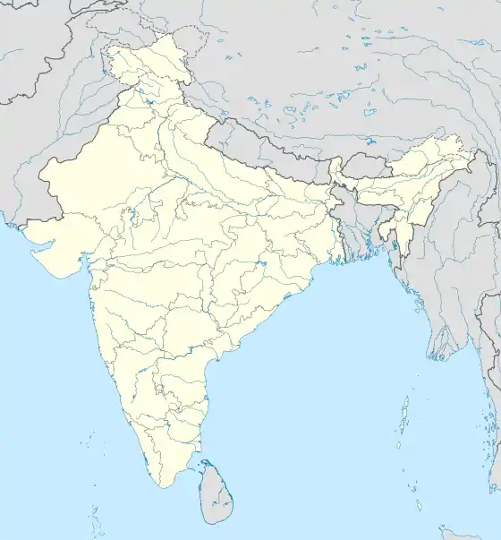
| Localisation | ||
| ||
| Géolocalisation sur la carte : Inde
| ||
| Liens | ||
| Site web | http://muzaffarnagar.nic.in/ | |
Géographie
Son chef-lieu est la ville de Muzaffarnagar. La superficie du district est de 4 008 km2[1] et la population au recensement de 2011 s'élève à 4 143 512 habitants[1].
Le taux d'alphabétisation est de 61,68 %[2].
Liens externes
Liens internes
Références
- (en) « Districts of Uttar Pradesh », Recensement 2011, Gouvernement de l'Inde (consulté le )
- (en) « District-specific Literates and Literacy Rates, 2001 », Registrar General, India, Ministry of Home Affairs (consulté le )
Cet article est issu de wikipedia. Text licence: CC BY-SA 4.0, Des conditions supplémentaires peuvent s’appliquer aux fichiers multimédias.