Arrondissement de Dingolfing-Landau
L'arrondissement de Dingolfing-Landau est un arrondissement (Landkreis en allemand) de Bavière (Allemagne) situé dans le district (Regierungsbezirk en allemand) de Basse-Bavière. Son chef lieu est Dingolfing.
| Arrondissement de Dingolfing-Landau Landkreis Dingolfing-Landau | |
 Héraldique |
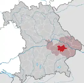
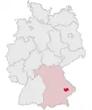 Localisation |
| Administration | |
|---|---|
| Pays | |
| Land | |
| District (Regierungsbezirk) |
Basse-Bavière |
| Chef-lieu | Dingolfing |
| Villes principales | Dingolfing, Landau an der Isar |
| Préfet (Landrat) |
Heinrich Trapp |
| Partis au pouvoir | SPD |
| Code arrondissemental (Kreisschlüssel) |
09 2 79 |
| Immatriculation | DGF |
| Communes | 15 |
| Démographie | |
| Population | 98 045 hab. (31 décembre 2021) |
| Densité | 112 hab./km2 |
| Géographie | |
| Superficie | 877,8 km2 |
| Localisation | |
| |
| Liens | |
| Site web | www.landkreis-dingolfing-landau.de |
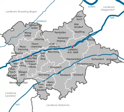
Villes, communes & communautés d'administration
(nombre d'habitants en 2006)
|
|
Cet article est issu de wikipedia. Text licence: CC BY-SA 4.0, Des conditions supplémentaires peuvent s’appliquer aux fichiers multimédias.