Alphen-Chaam
Alphen-Chaam est une commune des Pays-Bas de la province du Brabant-Septentrional.
| Alphen-Chaam | ||||
 Héraldique. |
 Drapeau. |
|||
.JPG.webp) L'église Saint-Willibrord à Alphen-Chaam | ||||
| Administration | ||||
|---|---|---|---|---|
| Pays | ||||
| Province | ||||
| Bourgmestre | Joerie Minses | |||
| Code postal | 4855-4861, 5130, 5131 | |||
| Indicatif téléphonique international | +(31) | |||
| Démographie | ||||
| Population | 9 484 hab. | |||
| Densité | 101 hab./km2 | |||
| Géographie | ||||
| Coordonnées | 51° 29′ 57″ nord, 4° 52′ 20″ est | |||
| Superficie | 9 363 ha = 93,63 km2 | |||
| Localisation | ||||
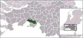
| ||||
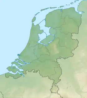
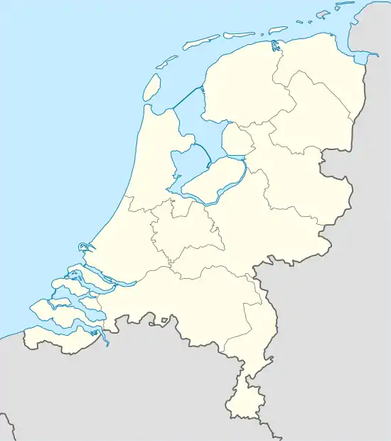
| Géolocalisation sur la carte : Pays-Bas
Géolocalisation sur la carte : Pays-Bas
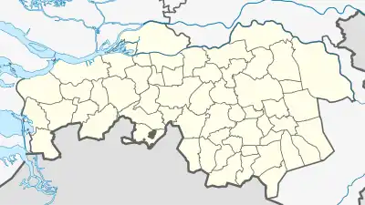
Géolocalisation sur la carte : Brabant-Septentrional
| ||||
| Liens | ||||
| Site web | www.alphen-chaam.nl | |||
Localités
Alphen, Alphen-Boshoven, Alphen-Oosterwijk, Boslust, Cauwelaar, Chaam, Chaamdijk, Druisdijk, Galder, Geersbroek, Ginderdoor, Grazen, Heerstaaien, Heikant, Het Sas, Hondseind, Houtgoor, Kalishoek, Klooster, Kwaalburg, Leg, Looneind, Meijsberg, Notsel, Rakens, Snijders-Chaam, Strijbeek, Terover, Venweg, 't Zand, Ulvenhout Alphen-Chaam.
Lien externe
Cet article est issu de wikipedia. Text licence: CC BY-SA 4.0, Des conditions supplémentaires peuvent s’appliquer aux fichiers multimédias.