Île d'Itamaracá
L'île d'Itamaracá se situe dans l'océan Atlantique, au nord-est du Brésil, sur le littoral de l'État du Pernambouc. Elle est entièrement incluse dans la municipalité d'Ilha de Itamaracá.
| Île d'Itamaracá | |||
| Géographie | |||
|---|---|---|---|
| Pays | |||
| Localisation | Océan Atlantique | ||
| Coordonnées | 7° 45′ 41″ S, 34° 51′ 07″ O | ||
| Superficie | 65 km2 | ||
| Géologie | Île continentale | ||
| Administration | |||
| État | Pernambouc | ||
| Município | Ilha de Itamaracá | ||
| Démographie | |||
| Population | 17 573 hab. (2007) | ||
| Densité | 270,35 hab./km2 | ||
| Autres informations | |||
| Découverte | Préhistoire | ||
| Fuseau horaire | UTC-3 | ||
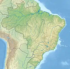
| Géolocalisation sur la carte : Brésil
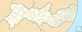
Géolocalisation sur la carte : Pernambouc
| |||
| Îles au Brésil | |||
Cet article est issu de wikipedia. Text licence: CC BY-SA 4.0, Des conditions supplémentaires peuvent s’appliquer aux fichiers multimédias.