Tarsdorf
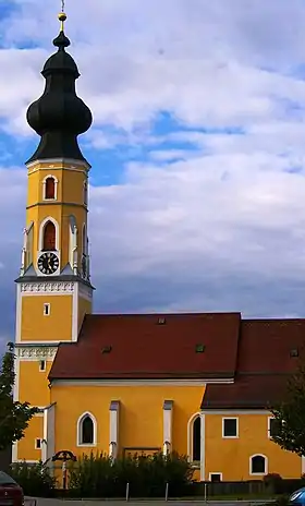
Tarsdorf est une commune autrichienne du district de Braunau am Inn en Haute-Autriche.
| Tarsdorf | ||||
 Héraldique |
||||

| ||||
| Administration | ||||
|---|---|---|---|---|
| Pays | ||||
| Land | ||||
| District (Bezirk) |
District de Braunau am Inn | |||
| Code postal | A- | |||
| Indicatif | 43+ | |||
| Démographie | ||||
| Population | 2 068 hab. ([1]) | |||
| Densité | 64 hab./km2 | |||
| Géographie | ||||
| Coordonnées | 48° 04′ 48″ nord, 12° 49′ 33″ est | |||
| Altitude | 429 m |
|||
| Superficie | 3 234 ha = 32,34 km2 | |||
| Localisation | ||||
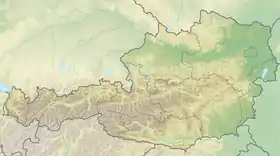
| Géolocalisation sur la carte : Autriche
Géolocalisation sur la carte : Autriche
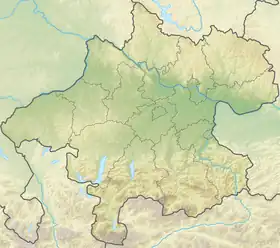
Géolocalisation sur la carte : Haute-Autriche
| ||||
Géographie
Localités
Le territoire de la commune est constitué de trois communes cadastrales (Katastralgemeinden) : Hörndl, Eichbichl, Hofstatt, et comporte les localités suivantes : Am Anger, Döstling, Eckldorf, Ehersdorf, Eichbichl, Fugging, Haid, Hofstadt, Hofweiden, Hörndl, Hucking, Leithen, Neues Dorf, Ölling, Sensberg, Sinzing, Schmidham, Staig, Tarsdorf, Wimm, Winham, Wolfing, Wupping[2].
Notes et références
- « Einwohnerzahl 1.1.2018 nach Gemeinden mit Status, Gebietsstand 1.1.2018 », Statistik Austria (en) (consulté le )
- (de) « Tarsdorf - RiS-Kommunal - Zentrum », sur tarsdorf.at (consulté le )
Cet article est issu de wikipedia. Text licence: CC BY-SA 4.0, Des conditions supplémentaires peuvent s’appliquer aux fichiers multimédias.


