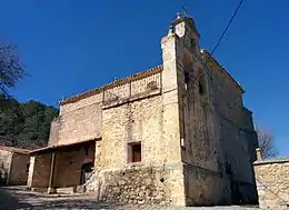
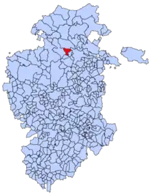
Rucandio
Rucandio est une commune d'Espagne dans la communauté autonome de Castille-et-León, province de Burgos. Elle s'étend sur 32,63 km2 et comptait environ 81 habitants en 2011.
Rucandio

| Nom officiel |
(es) Rucandio |
|---|
| Pays | |
|---|---|
| Communauté autonome | |
| Province | |
| Partie de |
Mancomunidad «Oña-Bureba-Caderechas-Valdivielso.(OBURCAVAL)» (d) |
| Chef-lieu |
Rucandio (d) |
| Superficie |
32,63 km2 |
| Altitude |
802 m |
| Coordonnées |
42° 45′ 06″ N, 3° 32′ 32″ O |
| Population |
67 hab. () |
|---|---|
| Densité |
2,1 hab./km2 () |
| Statut | |
|---|---|
| Chef de l'exécutif |
José Antonio Martínez Castro (d) |
| Code postal |
09593 |
|---|---|
| INE |
09328 |
| Indicatif téléphonique |
947 |
| Immatriculation |
BU |
| Site web |
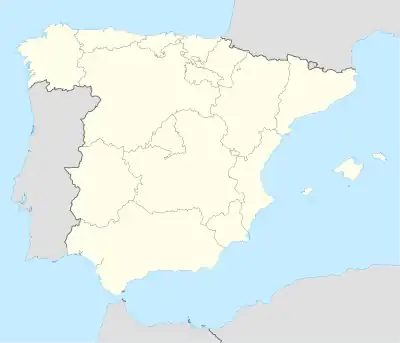
Localisation sur la carte d’Espagne
 |
Cet article est issu de wikipedia. Text licence: CC BY-SA 4.0, Des conditions supplémentaires peuvent s’appliquer aux fichiers multimédias.