Riofrío (Valle del Cauca)
Riofrío est une municipalité située dans le département de Valle del Cauca, en Colombie. La municipalité est située à 112,1 km au nord de Cali. Riofrío a été fondée en 1567 par Pedro María Marmolejo.
| Riofrío | ||

| ||
 Blason |
.svg.png.webp) Drapeau |
|
| Administration | ||
|---|---|---|
| Pays | ||
| Département | ||
| Code DANE | 76616 | |
| Démographie | ||
| Population | 15 402 hab. (2005[1]) | |
| Géographie | ||
| Coordonnées | 4° 09′ 22″ nord, 76° 17′ 16″ ouest | |
| Localisation | ||
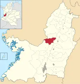 Carte de Riofrío | ||
| Géolocalisation sur la carte : Colombie
| ||
| Liens | ||
| Site web | http://riofrio-valle.gov.co/ | |
Géographie
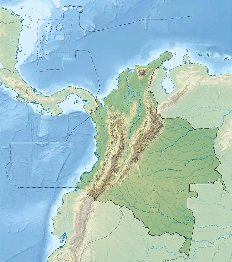
La plupart de Riofrío est montagneux et neuf rivières passent à travers la municipalité : El Cauca, Riofrío, Cuancua, Piedras, Volcanes, Tesorito, Limones, Río Lindo et la rivière Culebras.
Références
- (es) Censo 2005 — Riofrío[PDF], DANE
Cet article est issu de wikipedia. Text licence: CC BY-SA 4.0, Des conditions supplémentaires peuvent s’appliquer aux fichiers multimédias.