Parchovany
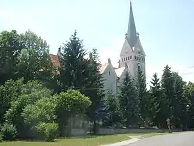
Parchovany est un village de Slovaquie situé dans la région de Košice.
| Parchovany | |||||

| |||||
| Administration | |||||
|---|---|---|---|---|---|
| Pays | |||||
| Région | Košice | ||||
| District | Trebišov | ||||
| Statut | Village | ||||
| Starosta (maire) Mandat |
Juraj Guzej (KDH) mandat : 2018-2022 |
||||
| Code postal | 076 62 | ||||
| Plaque minéralogique |
TV | ||||
| Code LAU 2 | 528676 | ||||
| Démographie | |||||
| Population | 1 945 hab. (31 déc. 2018) | ||||
| Densité | 84 hab./km2 | ||||
| Géographie | |||||
| Coordonnées | 48° 45′ 00″ nord, 21° 42′ 50″ est | ||||
| Altitude | 111 m |
||||
| Superficie | 2 322,5 ha = 23,225 km2 | ||||
| Localisation | |||||
| Géolocalisation sur la carte : Slovaquie
Géolocalisation sur la carte : Slovaquie
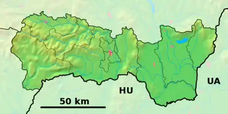
Géolocalisation sur la carte : région de Košice
Géolocalisation sur la carte : région de Košice
| |||||
| Liens | |||||
| Site web | http://www.parchovany.sk | ||||
| Sources | |||||
| « Résultat des élections » | |||||
| « Statistique de population » | |||||
| http://www.e-obce.sk [1] | |||||
| http://www.statistics.sk [2] | |||||
Géographie
hydrographie
Localisation sur la rivière Topľá en aval de Vranov nad Topľou.
transport
Le village se situe sur la ligne de chemin de fer entre Sečovce à Vranov nad Topľou.
Histoire
Première mention écrite du village en 1320.
Cet article est issu de wikipedia. Text licence: CC BY-SA 4.0, Des conditions supplémentaires peuvent s’appliquer aux fichiers multimédias.


