Naranjo (canton)
Le canton de Naranjo est une subdivision administrative du Costa Rica appartenant à la province d'Alajuela. Il couvre une superficie de 126,62 km2, pour une population de 37 602 habitants. Le chef-lieu du canton est la ville de Naranjo.
| Canton de Naranjo | ||
| Administration | ||
|---|---|---|
| Pays | ||
| Province | Alajuela | |
| Chef-lieu | Naranjo | |
| Alcalde Mandat |
Eugenio Padilla Bonilla 2006-2010 |
|
| Code cantonal | 206 | |
| Districts | 7 | |
| Démographie | ||
| Population | 37 602 hab. (2000) | |
| Densité | 297 hab./km2 | |
| Géographie | ||
| Coordonnées | 10° 06′ nord, 84° 23′ ouest | |
| Superficie | 12 662 ha = 126,62 km2 | |
| Localisation | ||
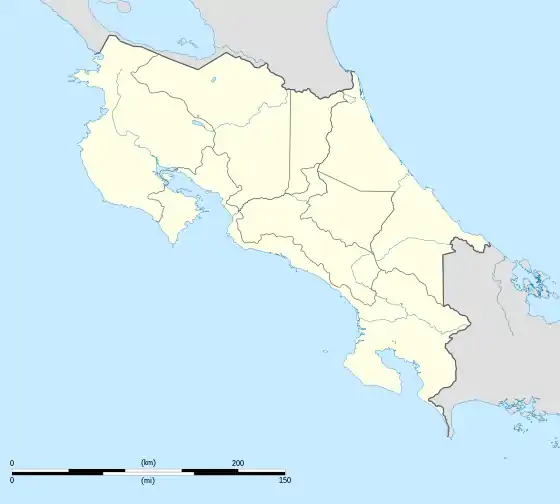
| Géolocalisation sur la carte : Costa Rica
| ||
Composition
Le canton de Naranjo est divisé en 7 districts :
| Code Inec | District | Population (2000) | Densité (hab./km²) | Superficie |
|---|---|---|---|---|
| 20601 | Naranjo | 18 514 | ||
| 20602 | San Miguel | 3 532 | ||
| 20603 | San José | 3 225 | ||
| 20604 | Cirrí Sur | 3 790 | ||
| 20605 | San Jerónimo | 2 703 | ||
| 20606 | San Juan | 2 709 | ||
| 20607 | Rosario | 3 129 | ||
| Canton de Naranjo | 37 602 | 297 | 126.62 |
Liens externes
Cet article est issu de wikipedia. Text licence: CC BY-SA 4.0, Des conditions supplémentaires peuvent s’appliquer aux fichiers multimédias.