Mughr al-Khayt
Mughr al-Khayt (arabe : مغر الخيط), également orthographié Mughr al Kheit[1], était un village palestinien situé dans le sous-district de Safed en Palestine mandataire. En 1945 (en), il compte 490 habitants, tous musulmans, pour une superficie de 6 627 dunams[2] - [3]. Le village est dépeuplé le par le premier bataillon du Palmach pendant l'opération Yiftah au cours de la guerre civile de 1947-48 entre Juifs et Arabes palestiniens[1].
Mughr al-Khayt

| Coordonnées |
32° 59′ 19″ N, 35° 32′ 17″ E |
|---|
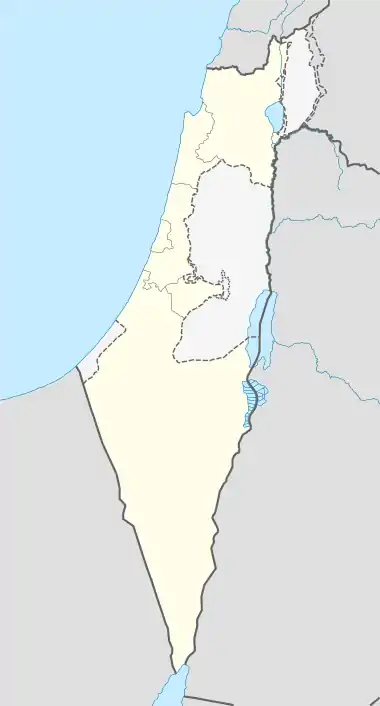
Localisation sur la carte d’Israël
 |
Sur le territoire de l'ancien village se trouvent aujourd'hui les villes israéliennes de Hatzor-Haglilit et Rosh Pina.
Notes et références
- (en) Cet article est partiellement ou en totalité issu de l’article de Wikipédia en anglais intitulé « Mughr al-Khayt » (voir la liste des auteurs).
- Morris 2004, p. xvi, village #50.
- Ministère des statistiques 1945, p. 10.
- Hadawi 1970, p. 70, d'après : gouvernement de Palestine, ministère des Statisttiques, Village Statistics, April, 1945.
Bibliographie
- Palestine: Report and General Abstracts of the Census of 1922, Government of Palestine, (lire en ligne)
- C.R. Conder et H. H. Kitchener, The Survey of Western Palestine : Memoirs of the Topography, Orography, Hydrography, and Archaeology, vol. 1, Londres, Comité du Palestine Exploration Fund, (lire en ligne) (pp. 199, 208, 254)
- V. Guérin, Description Géographique Historique et Archéologique de la Palestine, vol. 3: Galilee, pt. 2, Paris, L'Imprimerie Nationale, (lire en ligne) (p. 453)
- S. Hadawi, Village Statistics of 1945 : A Classification of Land and Area ownership in Palestine, Palestine Liberation Organization Research Center, (lire en ligne)
- (en) Wolf-Dieter Hütteroth et Kamal Abdulfattah, Historical Geography of Palestine, Transjordan and Southern Syria in the Late 16th Century, Erlangue, Erlanger Geographische Arbeiten, Sonderband 5. Erlangen, Allemagne : Vorstand der Fränkischen Geographischen Gesellschaft, , 225 p. (ISBN 3-920405-41-2, lire en ligne) (p. 178)
- (en) Karmon, Y., « An Analysis of Jacotin's Map of Palestine », Israel Exploration Journal, vol. 10, nos 3,4, , p. 155–173; 244–253 (lire en ligne) (Karmon, 1960, p. 165)
- (en) W. Khalidi, All that remains : the Palestinian villages occupied and depopulated by Israel in 1948, Washington, Institut des études palestiniennes, , 636 p. (ISBN 0-88728-224-5, lire en ligne)
- Census of Palestine 1931. Population of Villages, Towns and Administrative Areas, Jerusalem, gouvernement de Palestine, (lire en ligne)
- B. Morris, The Birth of the Palestinian Refugee Problem Revisited, Cambridge University Press, , 640 p. (ISBN 978-0-521-00967-6, lire en ligne) (p. 349)
- E. H. Palmer, The Survey of Western Palestine : Arabic and English Name Lists Collected During the Survey by Lieutenants Conder and Kitchener, R. E. Transliterated and Explained by E.H. Palmer, Comité du Palestine Exploration Fund, (lire en ligne) (p. 90)
- H. Rhode, Administration and Population of the Sancak of Safed in the Sixteenth Century, université Columbia, (lire en ligne)
- E. Robinson et E. Smith, Biblical Researches in Palestine, Mount Sinai and Arabia Petraea : A Journal of Travels in the year 1838, vol. 3, Boston, Crocker & Brewster, (lire en ligne) (2e annexe, p. 136 el-Mughar)
- (en) G. Schumacher, « Population list of the Liwa of Akka », Quarterly statement - Palestine Exploration Fund, vol. 20, , p. 169–191 (lire en ligne) (p. 189)
Voir aussi
Liens externes
- (en) « Welcome To Mughr al-Khayt », sur palestineremembered.com
- (en) « Mughr al-Khayt », Zochrot
- (en) « Mughr al-Khayt », sur villagesofpalestine.com
- (en) Survey of Western Palestine, carte 4 : IAA, Wikimedia Commons
Cet article est issu de wikipedia. Text licence: CC BY-SA 4.0, Des conditions supplémentaires peuvent s’appliquer aux fichiers multimédias.