Jalgaon
Jalgaon (en marathi: जळगांव ) est une ville de l'État indien du Maharashtra.
| Jalgaon जळगांव | |||||
| Administration | |||||
|---|---|---|---|---|---|
| Pays | |||||
| État ou territoire | Maharashtra | ||||
| District | District de Jalgaon | ||||
| Index postal | 425-001 | ||||
| Fuseau horaire | IST (UTC+05:30) | ||||
| Démographie | |||||
| Population | 460 468 hab. (2011[1]) | ||||
| Densité | 6 772 hab./km2 | ||||
| Géographie | |||||
| Coordonnées | 20° 59′ 53″ nord, 75° 34′ 00″ est | ||||
| Superficie | 6 800 ha = 68 km2 | ||||
| Localisation | |||||
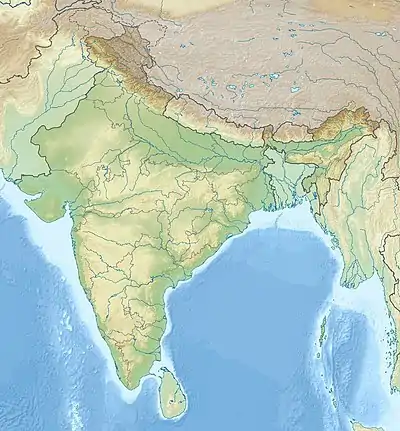
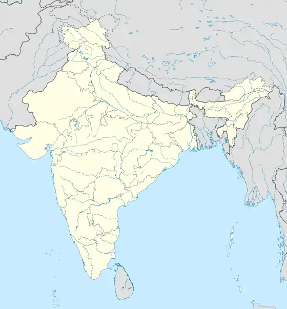
| Géolocalisation sur la carte : Inde
Géolocalisation sur la carte : Inde
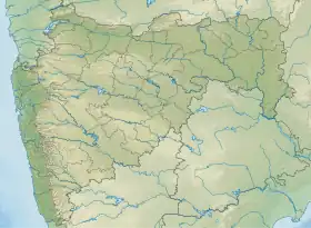
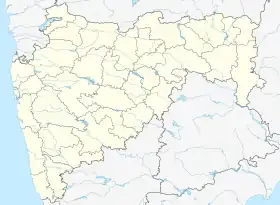
Géolocalisation sur la carte : Maharashtra
Géolocalisation sur la carte : Maharashtra
| |||||
Géographie
Notes et références
- (en) « Jalgaon City Census 2011 data », census2011.co.in (consulté le )
Voir aussi
Liens externes
Cet article est issu de wikipedia. Text licence: CC BY-SA 4.0, Des conditions supplémentaires peuvent s’appliquer aux fichiers multimédias.