Gegharkunik (communauté)
Gegharkunik (en arménien Գեղարքունիք ; jusqu'en 1946 Bashkend[3]) est une communauté rurale du marz de Gegharkunik, en Arménie. Fondée en 1828[3], elle compte 2 108 habitants en 2008[4].
| Gegharkunik (hy) Գեղարքունիք | ||||
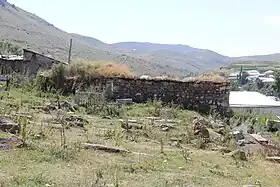 Église Saint Gevorg à Gegharkunik | ||||
| Administration | ||||
|---|---|---|---|---|
| Pays | ||||
| Région | Gegharkunik | |||
| Maire Mandat |
Karapet Asatryan (HHK)[1] - [2] 2011-2015 |
|||
| Démographie | ||||
| Population | 2 108 hab. (2008) | |||
| Densité | 84 hab./km2 | |||
| Géographie | ||||
| Coordonnées | 40° 15′ 30″ nord, 45° 08′ 15″ est | |||
| Superficie | 2 517 ha = 25,17 km2 | |||
| Fuseau horaire | UTC+4 | |||
| Localisation | ||||
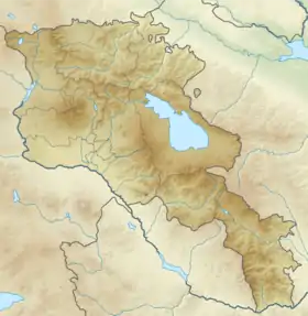
| Géolocalisation sur la carte : Arménie
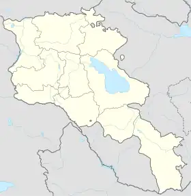
Géolocalisation sur la carte : Arménie
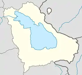
Géolocalisation sur la carte : Gegharkunik
| ||||
Notes et références
- (en) « RPA in Local Self-Government », sur Parti républicain d'Arménie (consulté le ).
- (hy+en) « Central Electoral Commission of the Republic of Armenia » (consulté le ).Pour obtenir la page en anglais, cliquez en haut à droite sur « English » ; ensuite, dans le menu vertical de gauche, cliquez sur « Elections », puis sur « Head of Community » et sélectionnez la dernière élection correspondant à la communauté voulue.
- (en) John Brady Kiesling, Rediscovering Armenia : An Archaeological/Touristic Gazetteer and Map Set for the Historical Monuments of Armenia, Erevan, , 71 p. (lire en ligne), p. 44.
- (en) ArmStat, Marzes of the Republic of Armenia in figures, 2008, « RA Gegharkunik Marz », (consulté le ).
Cet article est issu de wikipedia. Text licence: CC BY-SA 4.0, Des conditions supplémentaires peuvent s’appliquer aux fichiers multimédias.