District de Spittal an der Drau
Le district de Spittal an der Drau est une subdivision territoriale du land de Carinthie en Autriche.
| Spittal an der Drau | |
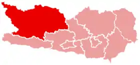 Localisation du district de Spittal an der Drau dans le Land autrichien de Carinthie. | |
| Administration | |
|---|---|
| Pays | |
| Land | |
| Centre administratif | Spittal an der Drau |
| Immatriculation | SP |
| Démographie | |
| Population | 76 248 hab. () |
| Densité | 28 hab./km2 |
| Géographie | |
| Coordonnées | 46° 49′ 59″ nord, 13° 18′ 22″ est |
| Superficie | 276 399 ha = 2 763,99 km2 |
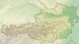
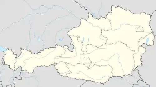
| Localisation | |
Géographie

Communes
Le district de Spittal an der Drau est subdivisé en 33 communes :
- Bad Kleinkirchheim
- Baldramsdorf
- Berg im Drautal
- Dellach im Drautal
- Flattach
- Gmünd in Kärnten
- Greifenburg
- Grosskirchheim
- Heiligenblut
- Irschen
- Kleblach-Lind
- Krems in Kärnten
- Lendorf im Drautal
- Lurnfeld
- Mallnitz
- Malta
- Millstatt
- Mörtschach
- Mühldorf
- Oberdrauburg
- Obervellach
- Radenthein
- Rangersdorf
- Reisseck
- Rennweg am Katschberg
- Sachsenburg
- Seeboden
- Spittal an der Drau
- Stall
- Steinfeld
- Trebesing
- Weissensee
- Winklern
Carte interactive des communes du district de Spittal an der Drau
Notes et références
Cet article est issu de wikipedia. Text licence: CC BY-SA 4.0, Des conditions supplémentaires peuvent s’appliquer aux fichiers multimédias.