Cherry Valley (Californie)
Cherry Valley est une census-designated place (CDP) située dans le comté de Riverside, en Californie.
Cherry Valley

| Pays | |
|---|---|
| État | |
| Comté | |
| Superficie |
20,94 km2 () |
| Surface en eau |
0 % |
| Altitude |
860 m |
| Coordonnées |
33° 58′ 29″ N, 116° 58′ 13″ O |

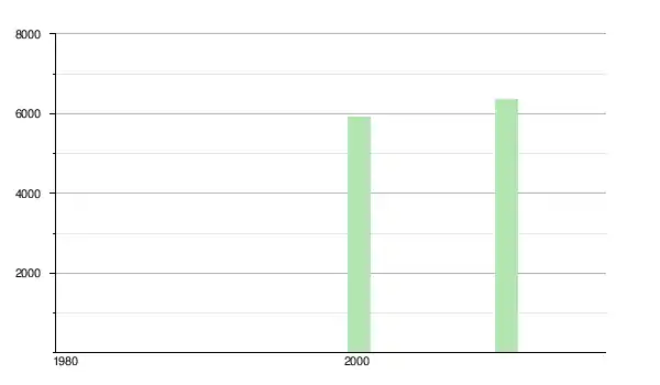
| Population |
6 509 hab. () |
|---|---|
| Densité |
310,8 hab./km2 () |
| Statut |
|---|

Démographie
Notes et références
Liens externes
- Ressource relative à la géographie :
Cet article est issu de wikipedia. Text licence: CC BY-SA 4.0, Des conditions supplémentaires peuvent s’appliquer aux fichiers multimédias.