Andreis
Andreis est une commune italienne d'environ 300 habitants,de la province de Pordenone dans la région autonome du Frioul-Vénétie Julienne en Italie.
| Andreis | ||||

| ||||
| Administration | ||||
|---|---|---|---|---|
| Pays | ||||
| Région | ||||
| Province | Pordenone | |||
| Code postal | 33080 | |||
| Code ISTAT | 093001 | |||
| Code cadastral | A283 | |||
| Préfixe tel. | 0427 | |||
| Démographie | ||||
| Gentilé | andreans | |||
| Population | 289 hab. (31-12-2010[1]) | |||
| Densité | 11 hab./km2 | |||
| Géographie | ||||
| Coordonnées | 46° 12′ 00″ nord, 12° 37′ 00″ est | |||
| Altitude | Min. 455 m Max. 455 m |
|||
| Superficie | 2 600 ha = 26 km2 | |||
| Divers | ||||
| Saint patron | Santa Maria delle Grazie | |||
| Fête patronale | 8 septembre | |||
| Localisation | ||||
.svg.png.webp) Localisation dans la province de Pordenone. | ||||
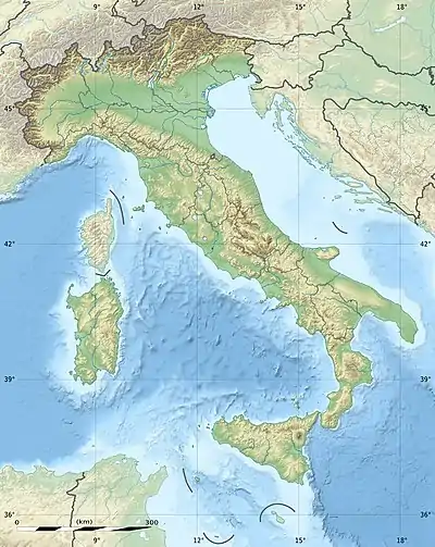
| Géolocalisation sur la carte : Italie
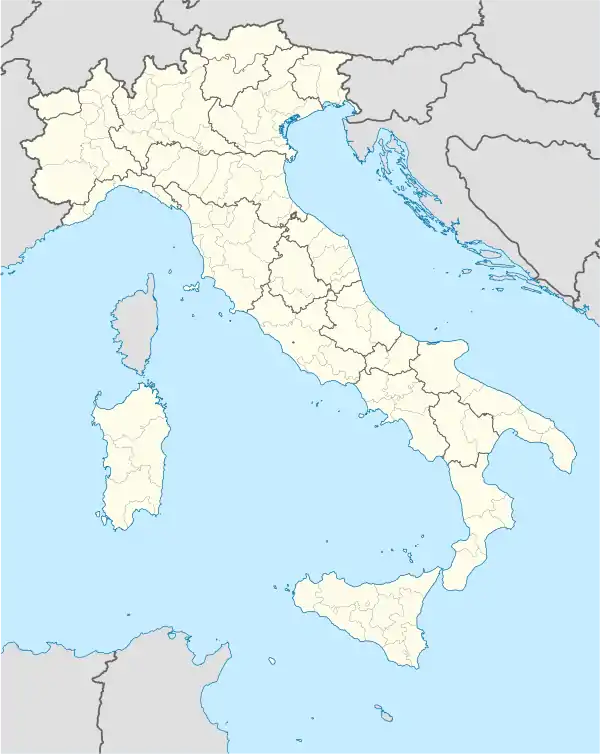
Géolocalisation sur la carte : Italie
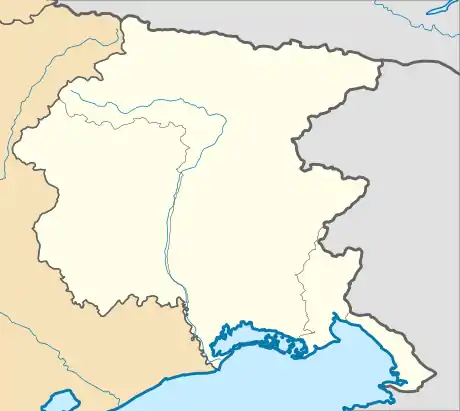
Géolocalisation sur la carte : Frioul-Vénétie Julienne
| ||||
| Liens | ||||
| Site web | Site officiel | |||
Administration
Hameaux
Alcheda, Bosplans, Cordata, Prapiero, Rompagnel, Selves, Sott'Anzas
Communes limitrophes
Cet article est issu de wikipedia. Text licence: CC BY-SA 4.0, Des conditions supplémentaires peuvent s’appliquer aux fichiers multimédias.