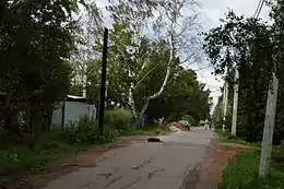
Petro-Slavianka
Petro-Slavianka est une commune urbaine sous la juridiction de Saint-Pétersbourg faisant partie du district de Kolpino.
Petro-Slavianka
.png.webp)
.png.webp)
| Pays | |
|---|---|
| Ville fédérale | |
| Coordonnées |
59° 48′ 05″ N, 30° 31′ 02″ E |
| Population |
1 326 hab. () |
|---|
| Statut |
Municipalité (d) |
|---|
| Drapeau |
Flag of Petro-Slavyanka (d) |
|---|
| Code postal |
196642 |
|---|---|
| OKATO |
40277552 |
| TGN | |
| Site web |
Géolocalisation sur la carte : Russie
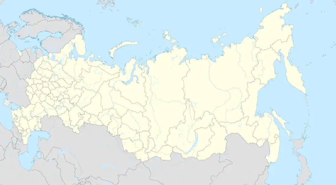
|
Géolocalisation sur la carte : Saint-Pétersbourg
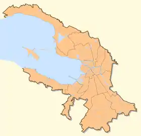
|
Cet article est issu de wikipedia. Text licence: CC BY-SA 4.0, Des conditions supplémentaires peuvent s’appliquer aux fichiers multimédias.