Liste des lieux patrimoniaux de Hamilton
Cet article recense les lieux patrimoniaux de Hamilton en Ontario inscrits au répertoire des lieux patrimoniaux du Canada, qu'ils soient de niveau provincial, fédéral ou municipal.
Liste
| [1] | Lieu patrimonial | Illustration | Adresse | Coordonnées | No | Constr. | Prot.[2] | Rec. | Notes |
|---|---|---|---|---|---|---|---|---|---|
| P | 59-63 King Street West, Dundas | 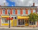 |
59, King Street West | 43.2665 -79.9561 |
8267 | 1875 | Ontario Heritage Foundation Easement | 1979 | |
| F | Ancien édifice de la douane de Hamilton | 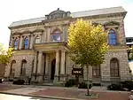 |
51, Stuart Street | 43.2665 -79.8674 |
4000 | 1860 | LHN | 1990 | |
| F | Ancienne gare du Canadien National à Hamilton |  |
360 James Street North | 43.2658 -79.865 |
7868 | 1931 | LHN | 2000 | |
| P | Auchmar | 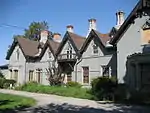 |
88, Fennell Avenue | 43.2391 -79.8821 |
8164 | 1855 | Ontario Heritage Foundation Easement | 2001 | |
| P | Bank of Montreal | 
|
1, Main Street West | 43.2552 -79.8701 |
8330 | 1928 | Ontario Heritage Foundation Easement | 1987 | |
| F | Bataille de Stoney Creek | 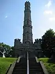 |
77 King Street West | 43.2175 -79.7661 |
16143 | LHN | 1960 | ||
| F | Bâtiment 2 | 
|
Catherine Street North | 43.2744 -79.8548 |
7523 | 1943 | Recognized Federal Heritage Building | 1992 | |
| P | Battlefield Monument – Stoney Creek Battlefield Park |  |
77, King Street | 43.2181 -79.7664 |
8165 | 1913 | Ontario Heritage Foundation Easement | 1992 | |
| F | Burlington Heights | 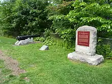 |
610 York Boulevard | 43.2719 -79.8859 |
1170 | 1813 | LHN | 1929 | |
| F | Château Dundurn | 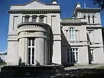 |
610 York Street | 43.2695 -79.8842 |
12341 | 1835 | LHN | 1984 | |
| P | Christ's Church Cathedral | 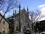 |
252, James Street | 43.2632 -79.8663 |
8167 | 1873 | Ontario Heritage Foundation Easement | 1992 | |
| P | Church of the Ascension | 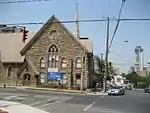 |
64, Forest Avenue | 43.2495 -79.8698 |
8168 | 1851 | Ontario Heritage Foundation Easement | 1993 | |
| P | Dundas Central School |  |
73, Melville Street | 43.2693 -79.9582 |
18023 | 1857 | Ontario Heritage Foundation Easement | 1990 | |
| F | Église presbytérienne St. Paul / Ancienne église St. Andrew |  |
56 James Street South | 43.2548 -79.8701 |
12774 | 1857 | LHN | 1990 | |
| P | Gage House – Stoney Creek Battlefield Park | 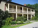 |
77, King Street | 43.2181 -79.7664 |
8166 | Ontario Heritage Foundation Easement | 1992 | ||
| F | Gare ferroviaire de la Canadien National | 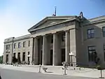 |
360 James Street North | 43.266 -79.865 |
6637 | 1931 | Heritage Railway Station | 1991 | |
| P | Hamilton CNR Station |  |
360, James Street North | 43.2658 -79.8646 |
8341 | 1931 | Ontario Heritage Foundation Easement | 1999 | |
| P | Hamilton Custom House | 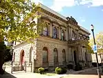 |
51, Stuart Street | 43.2666 -79.8677 |
10496 | 1860 | Ontario Heritage Foundation Easement | 1982 | |
| F | Jardins botaniques royaux | 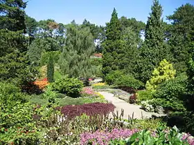 |
680 Plains Road West | 43.2905 -79.8757 |
11665 | 1989 | LHN | 1993 | [3] |
| F | Maison Griffin | 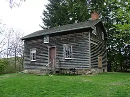 |
733 Mineral Springs Road | 43.2357 -80.0029 |
12521 | 1827 | LHN | 2008 | |
| F | Maison McQuesten / Whitehern | 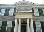 |
41 Jackson Street West | 43.2546 -79.872 |
12101 | 1848 | LHN | 1962 | |
| F | Maison-musée Erland-Lee | 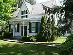 |
552 Ridge Road | 43.2066 -79.7208 |
9357 | 1808 | LHN | 2002 | |
| F | Manège militaire | 
|
200 James Street North | 43.2622 -79.8665 |
4303 | 1908 | Classified Federal Heritage Building | 1986 | |
| F | Manège militaire de John Weir Foote | 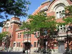 |
200 James Street North | 43.2622 -79.8665 |
7626 | 1888 | National Historic Site of Canada | 1989 | |
| P | McKinlay-McGinty House | 
|
232, Highway No. 8 | 43.1617 -80.1194 |
10514 | Ontario Heritage Foundation Easement | 1987 | ||
| F | NCSM Haida |  |
650 Catharine Street North | 43.2754 -79.8561 |
7624 | 1942 | LHN | 1984 | |
| F | Sandyford Place | 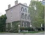 |
35-43 Duke Street | 43.2518 -79.8732 |
10706 | 1856 | LHN | 1975 | |
| P | Sandyford Place |  |
35, Duke Street | 43.235 -79.8373 |
10566 | 1858 | Ontario Heritage Foundation Easement | 1979 | |
| F | Ancienne gare de la Toronto, Hamilton & Buffalo Railway | 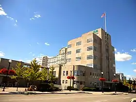 |
36 Hunter Street East | 43.253 -79.869 |
6531 | 1933 | GFP | 1991 | |
| F | Usine hydraulique de Hamilton |  |
900 Woodward Avenue | 43.2565 -79.7719 |
4449 | 1859 | LHN | 1977 | |
| F | Victoria Hall | 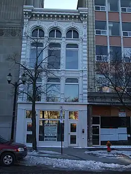 |
68 King Street East | 43.2568 -79.8695 |
2210 | 1888 | LHN | 1995 | |
| P | Waterdown Post Office |  |
31, Main Street South | 43.3328 -79.8917 |
8210 | Ontario Heritage Foundation Easement | 1977 |
Notes et références
- Niveau de la désignation: F: Fédéral, P: Provincial, M: Municipal
- (fr) Répertoire canadien des lieux patrimoniaux : Manuel de normes de documentation, Annexe A : Vocabulaires contrôlés, p.59-78
(en) Canadian Register of Historic Places: Documentation Standards Handbook, Appendix A: Controlled Vocabulary, p.57-75 - Aussi dans la municipalité régionale de Halton
Annexes
Articles connexes
Liens externes
Pour l'ensemble des points mentionnés sur cette page : voir sur OpenStreetMap (aide) ou télécharger au format KML (aide).
Cet article est issu de wikipedia. Text licence: CC BY-SA 4.0, Des conditions supplémentaires peuvent s’appliquer aux fichiers multimédias.